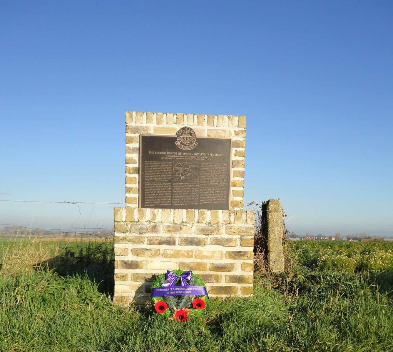
If you are planning on visiting some or all of the Project memorials in France and Belgium, it will make your visit much easier if you preload the locations for all of the memorials into your GPS device or on to Google Maps. Click the button below to download a file showing the locations of all of the memorials.
Uploading to a GPS device
The following instructions assume that you have maps for France and Belgium loaded on your GPS device. Click the button above to download a GPS Exchange format (GPX) file containing the locations of all the memorials. Each memorial’s location will be stored in your GPS device as a “Point of interest” (POI). All you have to do is select one of the POIs and your GPS will take you to it.
Uploading to Google Maps
You can save all of the locations in this downloaded file to Google Maps. The following instructions apply to a web browser but similar steps apply to the Google Maps app.
- With Google Maps open on a web browser, click on Save or Saved.
- On the panel which opens, there are four headings. Click on Maps and then click Create Map at the bottom.
- Google’s My Maps will open. Click “Untitled map” to give a name to your map and then click Import.
- On the “Choose a file to import” screen, click the Browse button and navigate to where you saved the downloaded file.
- Select the downloaded file and then click Open.
- Google Maps will open showing all the locations in the downloaded file.
Now you can open the Google Maps app on your mobile device, open your saved map and select any of the locations. Now all you have to do is follow Google’s instructions to get there.


